


Kurobe Dam is a large arch concrete dam located on the Kurobe River in Tateyama Town, Nakaniikawa District, Toyama Prefecture, Japan.
Managed by Kansai Electric Power Company, it was completed in 1963 and has become one of the most famous dams in the country.
Overview
Kurobe Dam is a arch concrete dam completed in 1963.
With a height of 186 meters, it is the tallest dam in Japan.
The dam was constructed primarily for hydroelectric power generation and continues to play a vital role in supplying electricity to the region.
Basic Information
| Item | Detail |
|---|---|
| Location | Tateyama Town, Toyama, Japan |
| River | Kurobe River |
| Dam Type | Arch concrete dam |
| Purpose | Power generation |
| Height | 186 m (≈ 610 ft) |
| Length | 492 m (≈ 1,614 ft) |
| Completed | 1963 |
| Operator | Kansai Electric Power Company |
Photo Gallery: Kurobe Dam

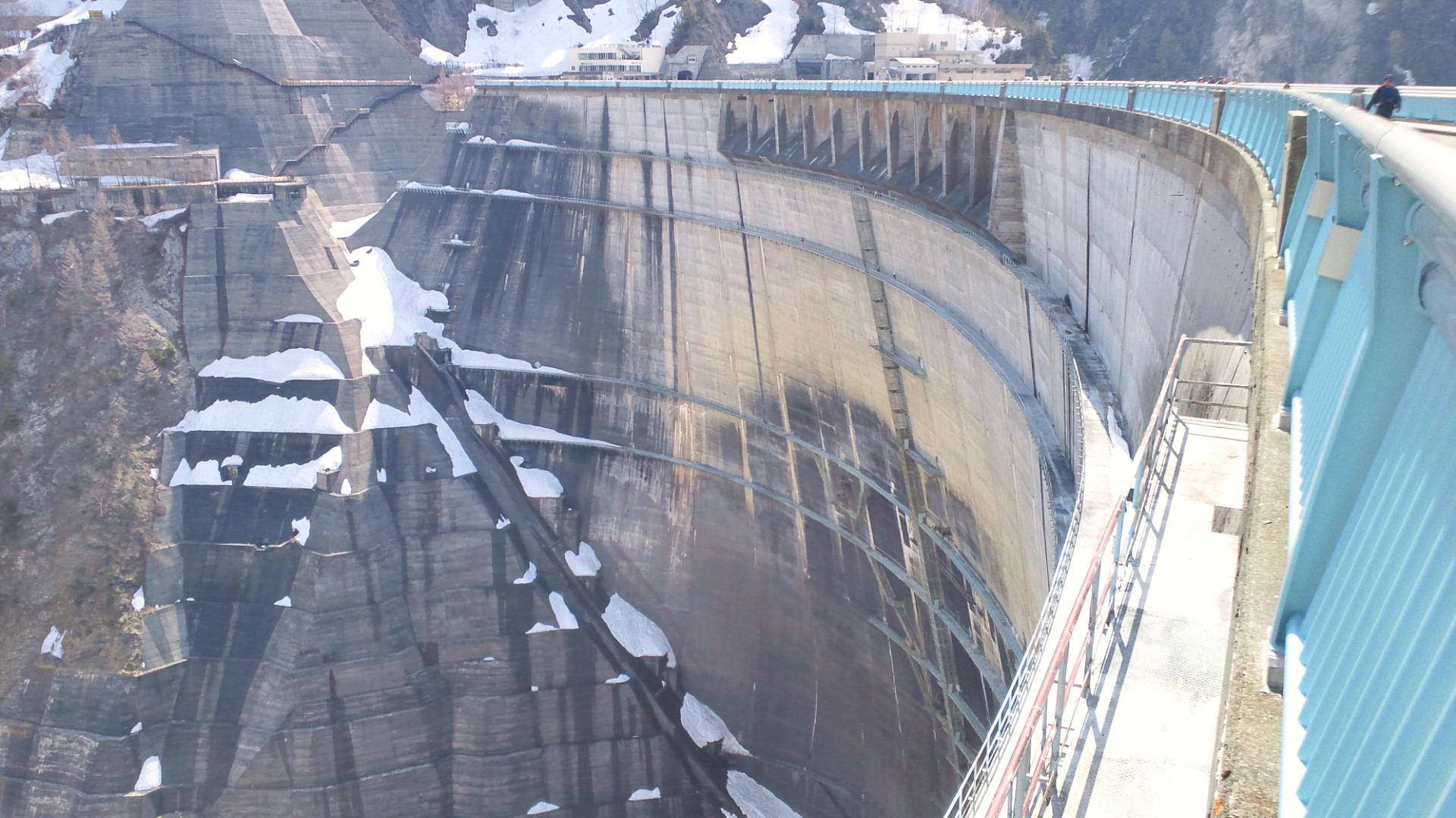
From the observation deck, visitors can see the full scale of Kurobe Dam.
At 186 meters tall, it is the tallest dam in Japan.
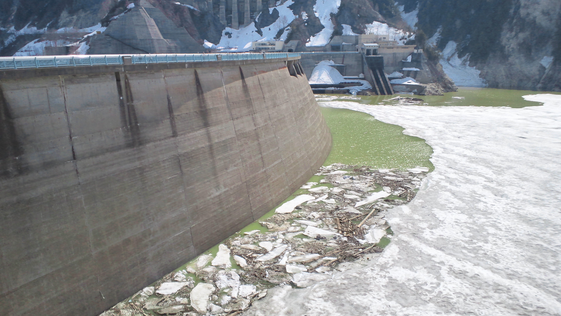
The wing-shaped structures on both sides help reinforce the strength of the arch.
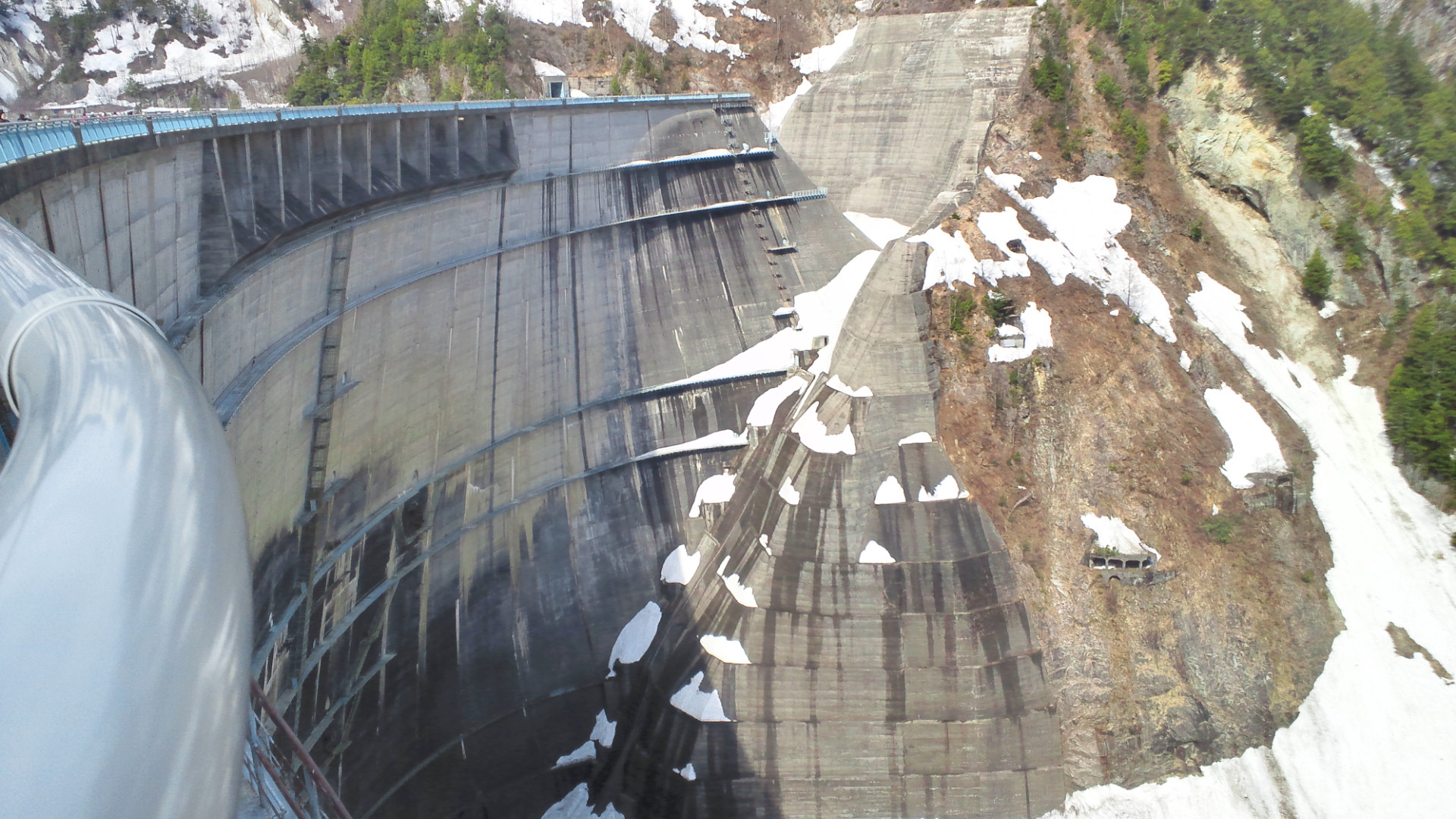
This view from the right bank shows the emergency spillway, designed to safely release excess water during floods.
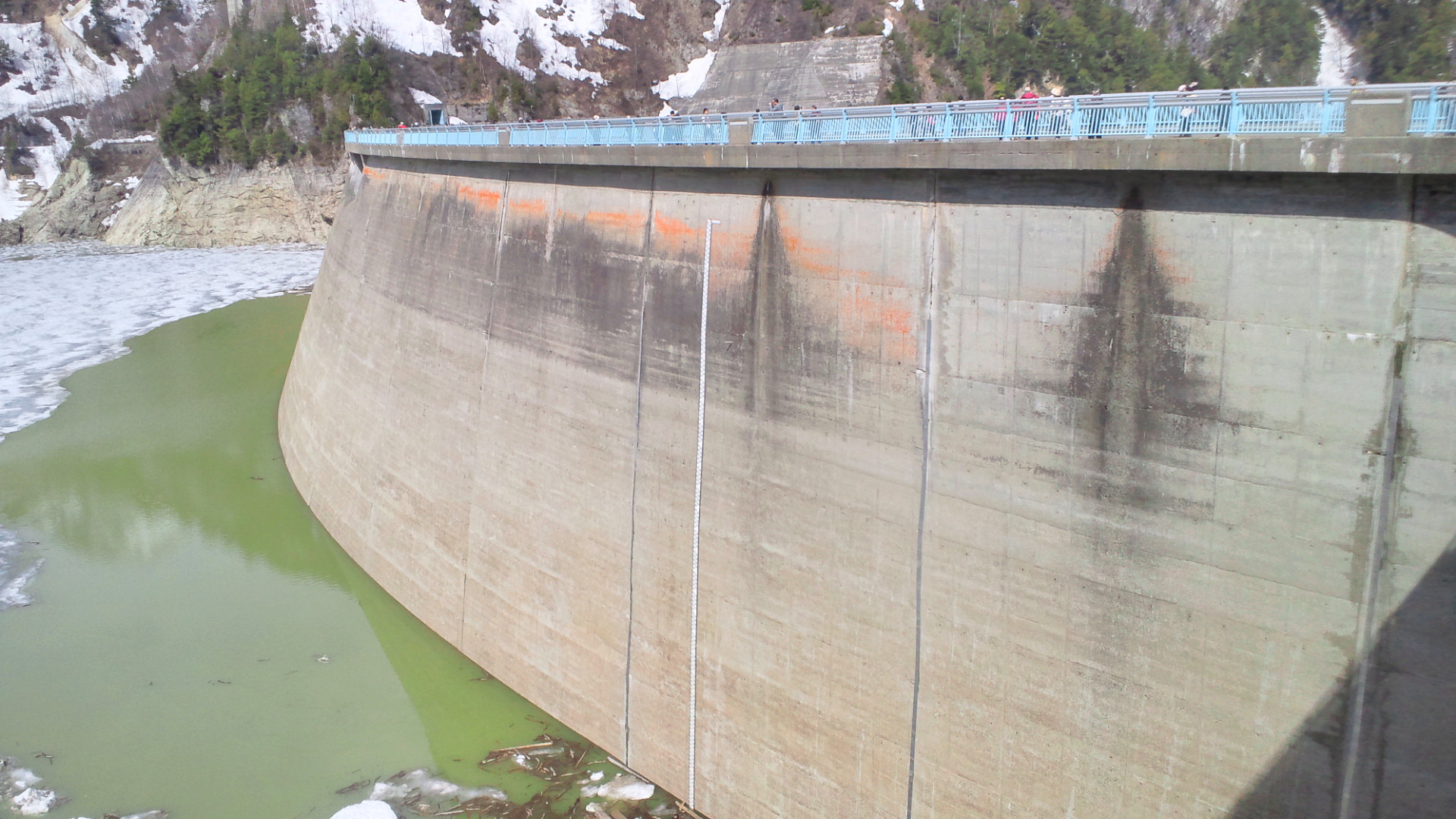
Seen from the right bank on the upstream side, this area is accessible via the Tateyama Kurobe Alpine Route, one of Japan’s most famous mountain routes.
Standing directly below the dam highlights its impressive height and vertical scale.
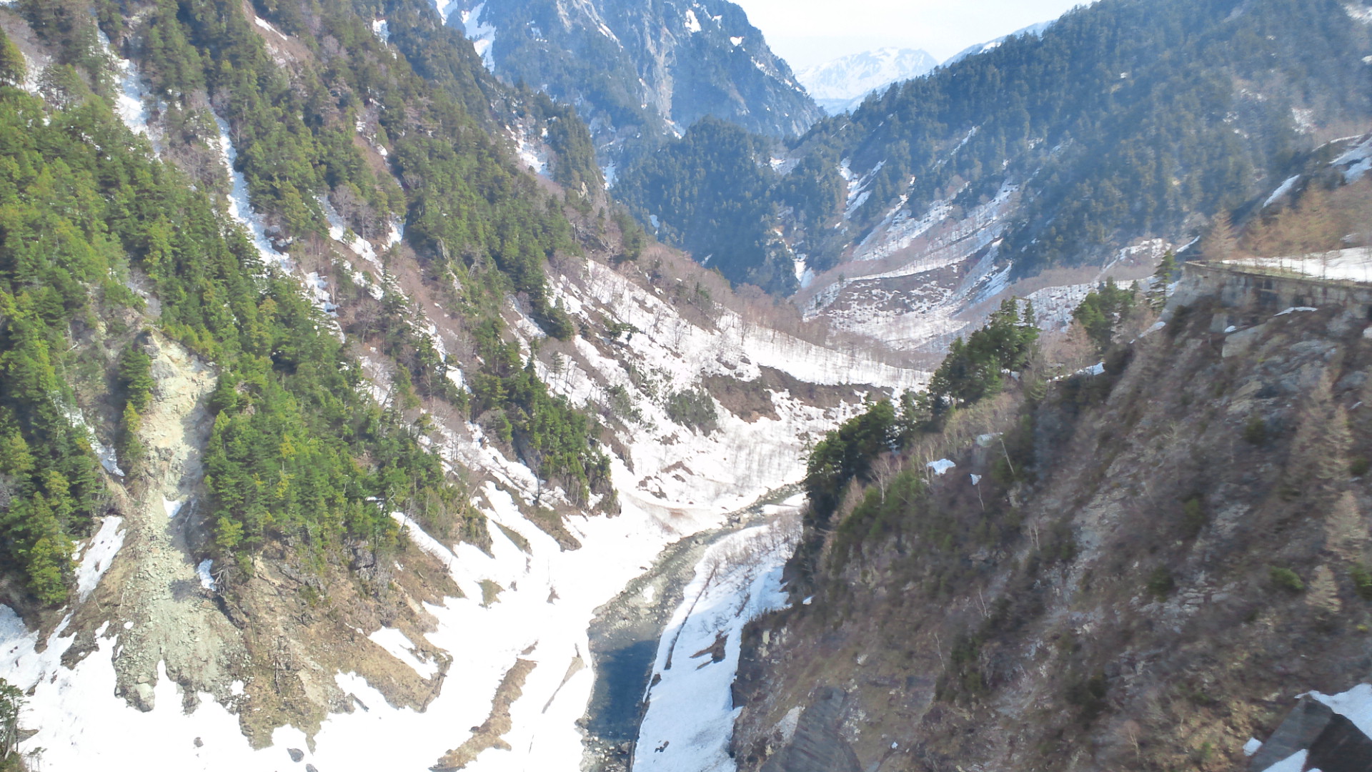
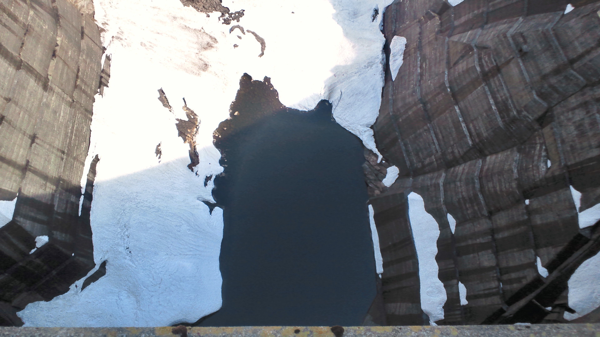
Downstream of the dam, steep mountain terrain continues, emphasizing the rugged landscape of the Kurobe River valley.
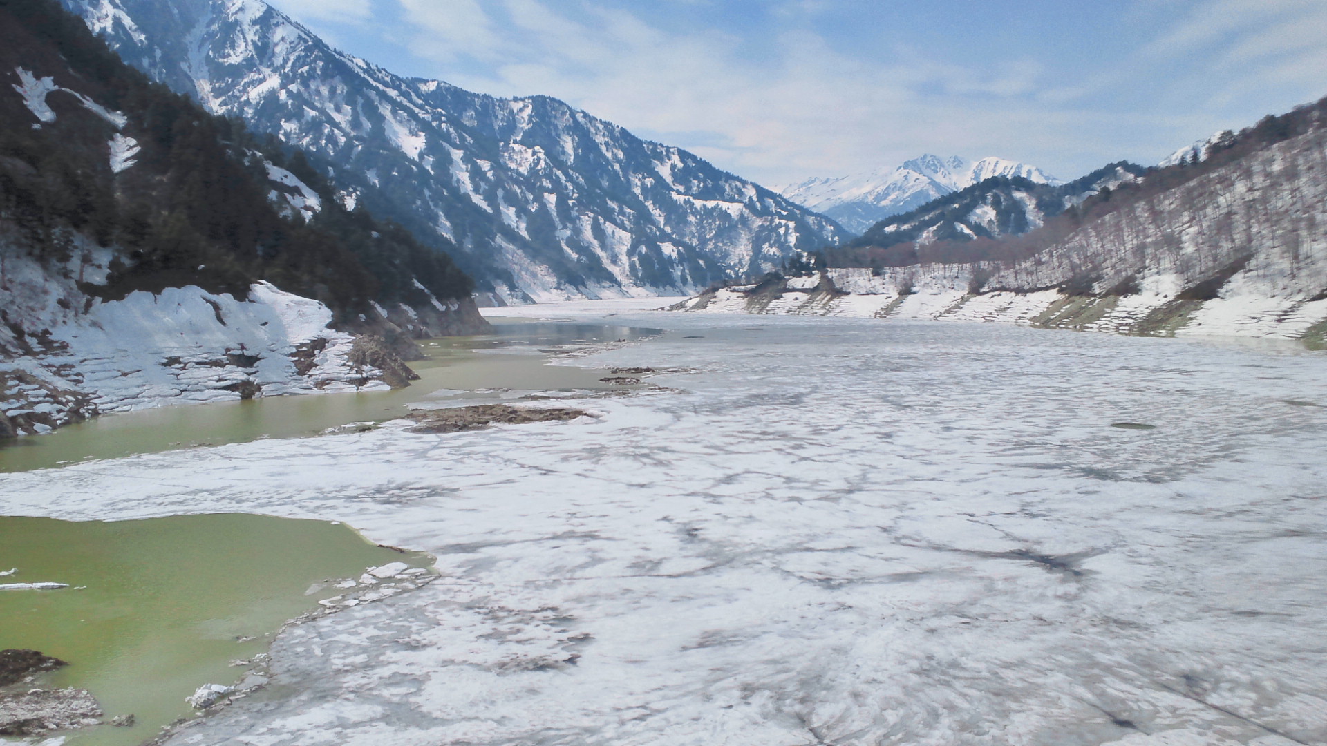
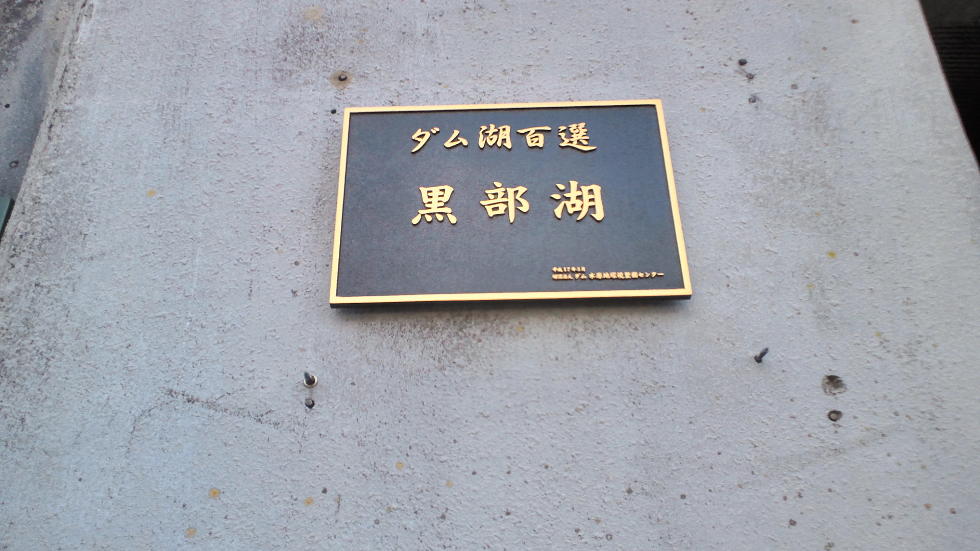
Kurobe Lake, the reservoir formed by the dam, is known for its scenic beauty and has been selected as one of Japan’s “Top 100 Dam Lakes.”
On some winter days, the lake surface freezes completely.
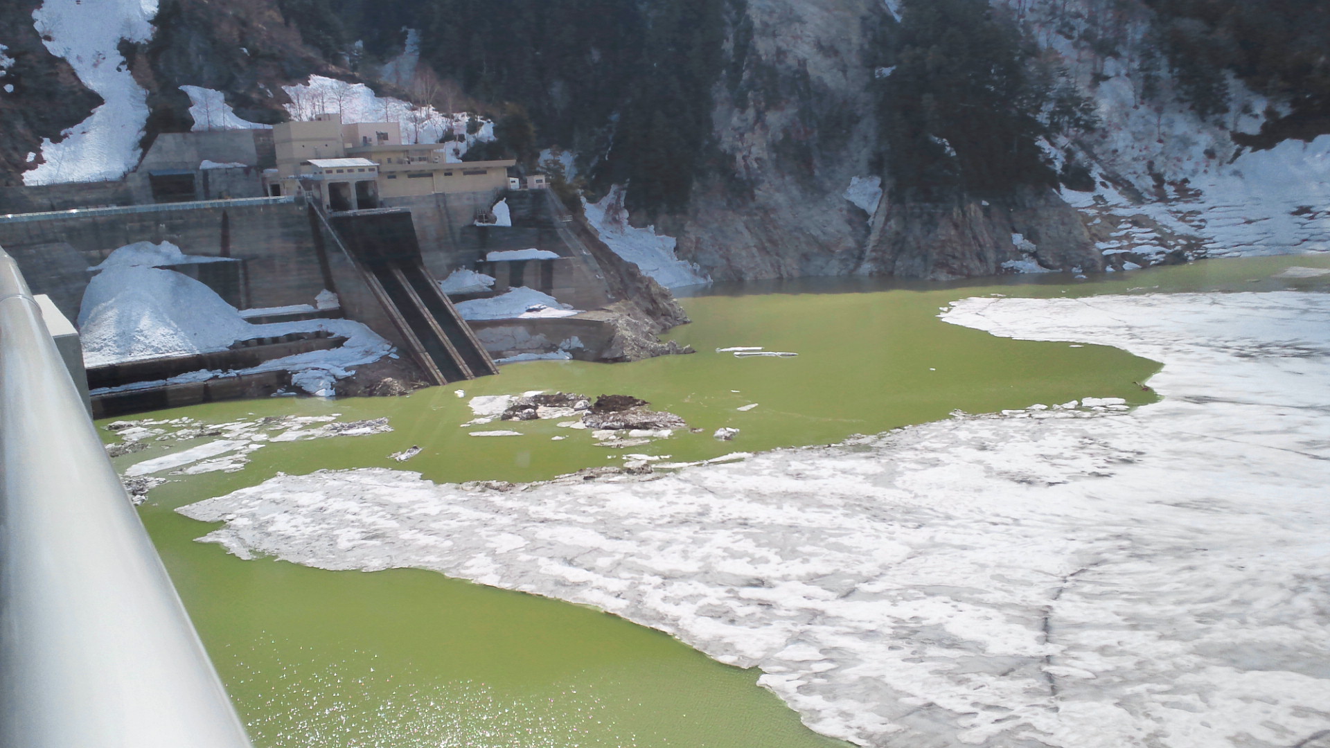
Viewed from the crest, the water intake on the right bank supplies water to the Kurobe No.4 Power Station, supplies water to the Kurobe No. 4 Power Station, which generates up to 335 megawatts of electricity.
This photo shows Kurobe Dam as seen from the left bank, offering a different perspective on its arch structure.
On the upstream side of the left bank, the Kurobe Dam Rest House can be seen in the distance.
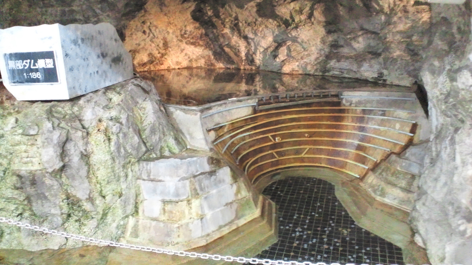
This scale model of Kurobe Dam is displayed at Kurobe Station and helps visitors understand the dam’s structure.
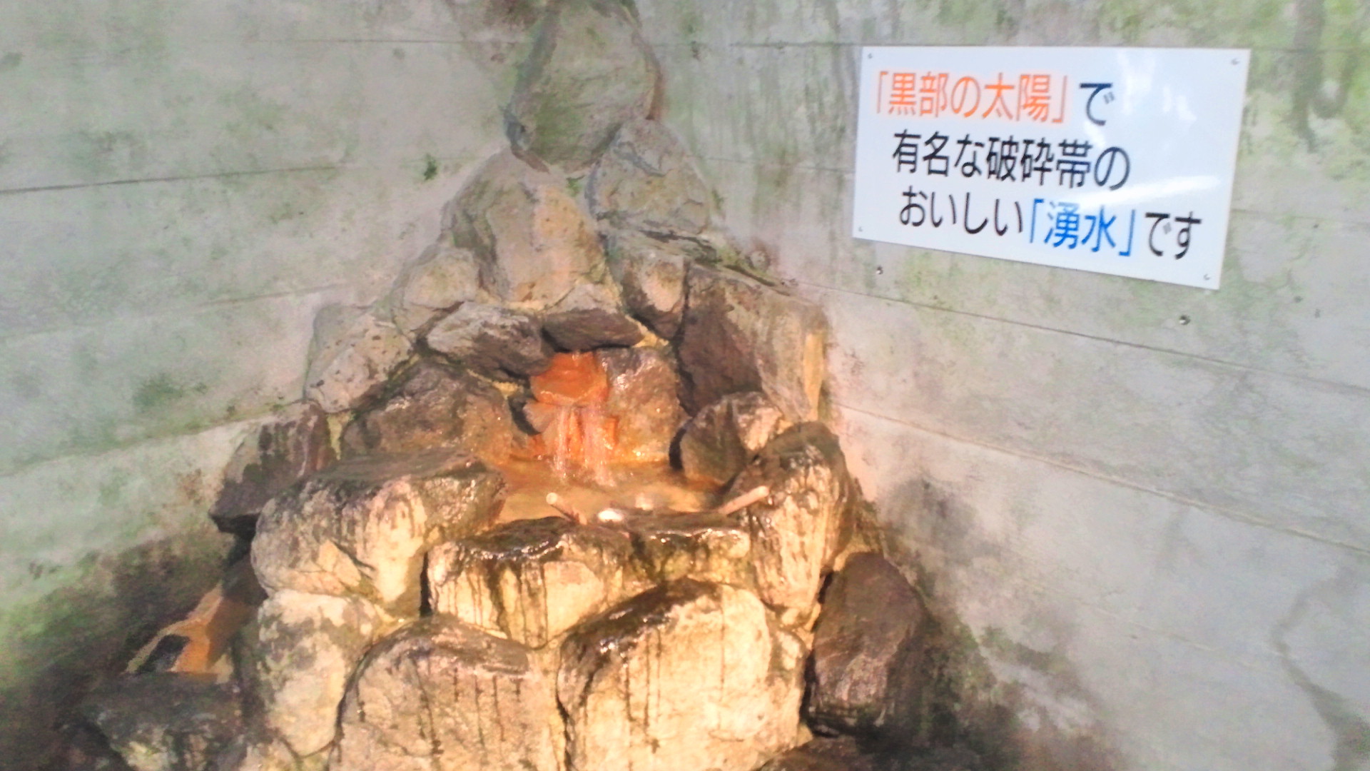
These spring waters originate from fractured rock zones encountered during tunnel construction, one of the major challenges in building the dam.

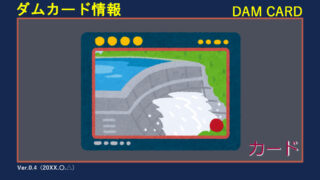
Dam Card Information
Kurobe Dam issues an official dam card at the dam rest house’s information desk on the first floor.
The card is available during the dam’s open season, typically from mid-April to late November.
To receive the dam card, you may need to show a valid bus ticket or Tateyama Kurobe Alpine Route ticket.
Summary
Kurobe Dam stands as one of Japan’s most iconic and impressive dams.
With a height of 186 meters and a strong arch structure, it offers not only power generation but also breathtaking views for visitors.
Whether you are interested in engineering, scenic landscapes, or Japan’s unique infrastructure, Kurobe Dam is well worth the visit.
Full Specifications (Optional)
| Item | Detail |
|---|---|
| Dam Name | Kurobe Dam |
| Dam Type | Arch concrete |
| Location | Tateyama Town, Nakaniikawa District, Toyama Prefecture, Japan |
| River System | Kurobe River, Kurobe River system |
| Purpose | Hydropower generation |
| Height | 186 m (≈ 610 ft) |
| Length | 492 m (≈ 1,614 ft) |
| Dam Volume | 1,582,000 m³ (≈ 55.9 million ft³) |
| Catchment Area | 188.5 km² (≈ 72.8 sq mi) |
| Reservoir Surface Area | 3.49 km² (≈ 862 acres) |
| Total Storage Capacity | 199,285,000 m³ (≈ 161,600 acre-ft) |
| Active Storage Capacity | 148,843,000 m³ (≈ 120,700 acre-ft) |
| Owner / Operator | Kansai Electric Power Company, Inc. |
| Main Contractor | Hazama Corporation |
| Construction Started | 1956 |
| Completed | 1963 |
| Reservoir Name | Lake Kurobe |
| Dam Card (Japan) | Available |